
Decatur Neighbors by Source
Public records describe a block in layers. Macon County GIS supplies parcel shapes and location context. Tax cards name parcel owners and show both the physical site and the mailing address. Decatur's neighborhood layer identifies an area organization or local name. The voter lookup checks one known person, not everyone on a street. Community groups offer a contact route, but no official public member roster was found.
| Source | What It Shows About a Block | Access |
|---|---|---|
| County GIS parcels | Boundaries, PINs, owner links, ZIP and districts | Free map, select, print, export |
| Property cards | Owner, mailing and situs addresses, sales and building facts | Free portal or PDF |
| City address layer | Street points, number supplements, alternate names | Public GIS service |
| Neighborhood layer | Named polygon and organization metadata | Public city GIS |
| Active code cases | Address, PIN, owner, case type, status, start date | Current active cases |
| Voter lookup | Status for one identified person | Four required identity fields |
| CONO | Area organization, meetings, grants and joining route | Public page, no member list |
| DPL and MCHM | Past directories, maps, minutes and photographs | Online or research request |
An owner's name is a tax fact, not a household list. Renters, family members, and other occupants may not appear. Keep that limit beside every result when identifying people around the block.
Map Decatur Neighbor Parcels
The Macon County GIS office routes users to the public map tools. Begin with one address or PIN. If the address is uncertain, the Avineon viewer also offers Street Name, ZIP, Community, and Current map extent controls. Current map extent limits the result to the visible area, which is useful for a short block.
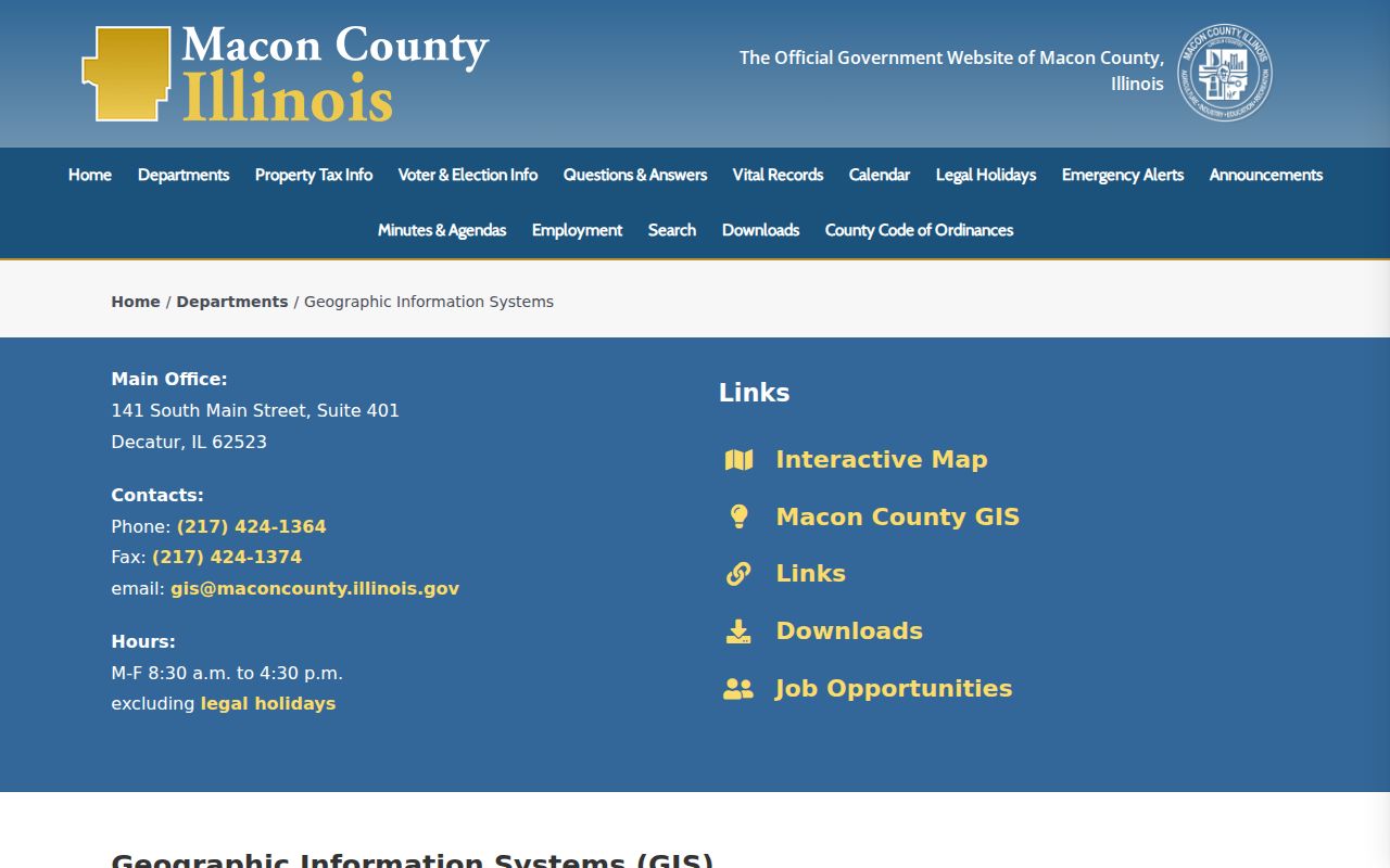
The captured GIS page is the official bridge to parcel geography, not a list of people living in each home.
- Search the target address or PIN, then use select or identify to save its parcel number, legal-description link, and coordinates.
- Click each parcel that shares a boundary or fronts the same short block. Do not count a lot based only on building distance.
- Open each tax card. Record situs and mailing addresses separately, along with the owner, printed date, ZIP, township, and parcel class.
- Use measure for rough radius context, export selected features where available, and print a dated map with its scale.
- Move to the Decatur street directory when the question expands from the immediate block to an entire named street.
Read Decatur Neighbor Cards
A parcel card can include the PIN, owner, mailing address, situs address, class, subdivision, lot and block, legal description, sales, assessments, building facts, permits, acreage, and print date. The urban and rural formats can look quite different. One researched urban card uses lot-and-block fields, while a county farm card uses a quarter-section description and an entity owner.
This difference matters around Decatur's edge. A mailing address in Decatur does not make a farm parcel part of the city, and an entity name does not reveal a household. Compare the city-limit, township, ZIP, neighborhood, and parcel layers before attaching a simple local label. A homestead exemption can be a clue within the tax system, but it does not prove present occupancy.
- PIN
- The parcel identification number used to join the map, tax card, and deed trail.
- Situs address
- The physical location assigned to the parcel.
- Mailing address
- The destination for tax correspondence, which can differ from the site.
- Parcel boundary
- The mapped legal lot edge, not a measure of social connection.
Name Decatur Neighborhoods Correctly
The official Decatur neighborhood layer includes named areas and organization abbreviations. Its fields include NAME, FULL_NAME, ACTUAL_NAME, NEWS_LETTER, PLACE, and a management timestamp. These fields can connect a parcel to a local label or possible newsletter, but they do not confirm that a group is active today or publish its members.
The Decatur named-neighborhood layer is the source for that geography.
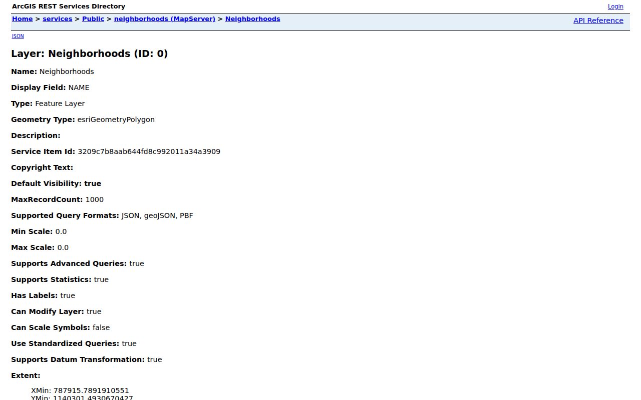
The service view shows why a polygon name should be treated as map metadata, then checked with the relevant organization for current activity.
Examples in the layer range from Baker Woods, Bayview, and Country Acres Highland Ct to Grant Park, Martin Luther King, Mueller Park, South Shores, WENA, and Windsor Village. Organization abbreviations appear beside descriptive place names, so use FULL_NAME or ACTUAL_NAME when available.
Connect Across Decatur Blocks
The Coalition of Neighborhood Organizations, or CONO, is Decatur's official umbrella route. It began in 1991 and received City Council recognition in 1997. The city lists monthly meetings and benefits that include grants, events and promotions, sponsor listings, and voting rights. The practical next step is to identify the area on the map, then ask its organization how to join or make contact.
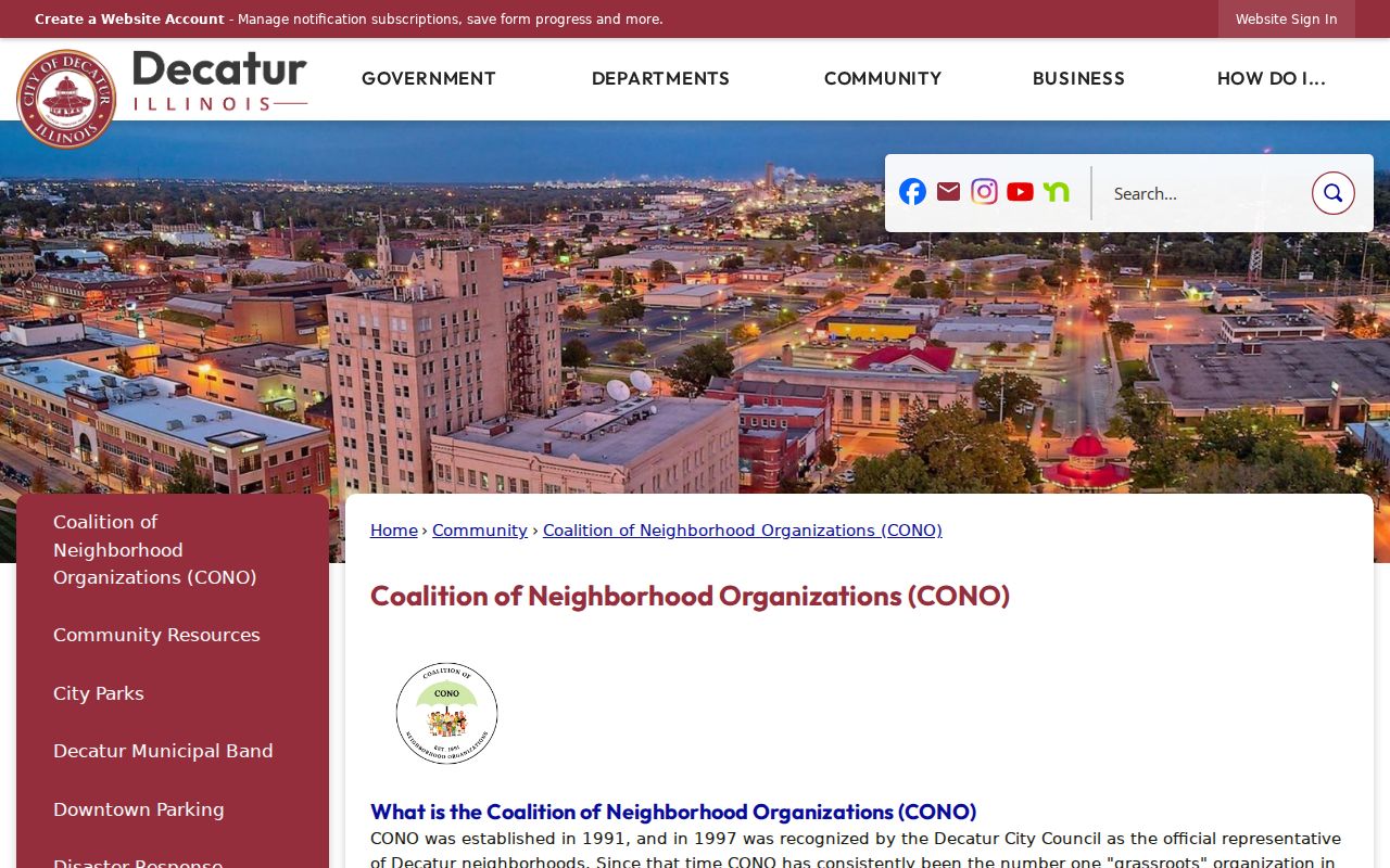
The captured CONO page supplies a civic connection point without exposing a private roster of Decatur neighbors.
County GIS
Use the parcel viewer to identify the block, adjoining lots, districts, and map keys.
CONO
Use the city umbrella page for meetings, organization guidance, and the joining route.
DPL Local History
Ask for old directories, maps, newspapers, and organization material for historic blocks.
Decatur Block Voter Limits
The public Illinois voter tool cannot search a street or return a block list. It requires the first name, last name, birth date, and five-digit ZIP of one known person. The result concerns individual status and polling jurisdiction. A full computerized voter file is limited to qualifying political committees with a bona fide political purpose, and street number, full birth date, phone, Social Security number, and email are redacted.
The Macon County election-information page routes people to registration, early voting, sample ballots, polling places, results, and the state status lookup.
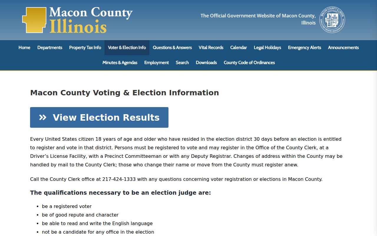
The county screen reinforces that election tools provide services to known voters, not a directory of all neighbors on a Decatur block.
Check Decatur Block Activity
Decatur's public active-code-case layer can show an address, parcel, owner, case type and status, case number, start date, and violation type. It contains active cases only. A case documents municipal activity tied to an address; it does not show who lives there. Closed or archived history requires a narrow city request.
Building permits can add the kind of work, address, permit, and inspection context through the city's public-search route, though the researched sources did not establish a complete earliest online year. Recorder deeds add grantor, grantee, instrument, date, and legal description from June 1985 forward in the online county route. Older deeds move to the recorder counter and IRAD holdings. Each source should keep its date and scope.
Note: Parcel, permit, and case records describe land or city action; none should be presented as a complete household profile.
Official Decatur Neighbor Records
Official rolls and commercial neighbor tools answer different questions. County and city sources identify the office, record date, parcel key, and correction route. Commercial products may combine marketing data, old address histories, and copied filings. Those blends can be stale, can merge people with the same name, and rarely explain the legal boundary of a parcel.
| Route | Strength | Limit |
|---|---|---|
| GIS and tax cards | Dated parcel and owner facts | Owners are not all occupants |
| City neighborhood layer | Official area geometry and metadata | No member or household roster |
| Voter status lookup | Official check for one known person | No address-only or block search |
| Commercial category | May collect many old leads | Source, date, and identity can be unclear |
For nearby Decatur residents, start with the official parcel and association route. If a public record is wrong, contact its keeper with the PIN, case number, document number, and date rather than trying to correct an outside compilation first.
Trace Past Decatur Blocks
Historical blocks need historical geography. Subdivision plats connect a modern parcel to its lot and block. The 1898 and 1915 Sanborn fire-insurance maps show building footprints and street context for their own dates. City directories can connect people to old addresses, while deeds, census releases, newspapers, obituaries, and probate files help test the match.
Do not carry a 1915 boundary or address number into the present without checking it. Decatur directory compiler Charles O. Ebel also numbered homes and installed the city's first street signs after beginning directory work in 1883. That local history is a warning that addresses themselves can change. A past block should be rebuilt year by year, with source dates preserved.
Protect Decatur Neighbors
Utility customers, delivery records, DMV identifiers, household members, and private association rosters are not public block sources. Illinois's Address Confidentiality Program can provide a substitute address and mail forwarding for qualifying survivors. Public-official and judicial privacy rules may suppress additional personal details. A normal Illinois FOIA request cannot override those protections.
Owners can live elsewhere. Voters are not necessarily owners. A neighborhood polygon does not certify membership. If a Decatur record stops at one of those limits, state the limit and stop. That is more accurate than filling the gap with an inference.
Lawful use. Research Decatur neighbors for civic contact, history, or personal safety. Never publish or use personal information to threaten, watch, harass, or harm someone.