
Walk a Decatur Street Directory
A street-by-street search works best as a chain. Macon County's tax roll gives the present owner and the parcel number. The county map then places that parcel among the lots around it. A deed connects the present owner to the seller, and city permit or code records add events tied to the site. None of those sources alone proves who sleeps at the address. A mailing address may differ from the situs address, the term for the physical property location. Historical directories and carefully limited voter verification can add evidence about residents.
- Enter the house number and street in the Macon County property search. Record the owner, parcel number, legal description, and sale date.
- Open the parcel in the county GIS viewer. Check adjacent lots, the subdivision, ZIP, township, districts, and map extent.
- Use an owner's exact name in the Recorder's free Direct Search. Follow recorded deeds backward, keeping document numbers and dates.
- Check Decatur building permits and the active code-case map by address. Treat a named owner as case data, not proof of occupancy.
- For an earlier household, consult Decatur Public Library's address-keyed directories. Use the state voter tool only to verify a known person, not to build a street list.
This sequence keeps the street directory honest. It also creates a fallback when a spelling or address fails. The parcel number bridges the tax roll, map, legal description, and many city records. A person's name bridges the deed index and a known voter-registration check. The old directory supplies the address-to-name link that modern public portals often withhold.
Decatur Street Search Fields
The Macon County property search is the cleanest first stop for a current Decatur address. Its public form accepts more than an address, so a failed spelling does not end the search. Owner names use last-name-first order, and a complete parcel identification number is the strongest key. Sale price and sale date ranges can isolate a transfer when the street has many similar parcels.
| Field | Use in a street search | Format note |
|---|---|---|
| Parcel Number | Opens one exact parcel | Use the complete PIN when known |
| Owner Name | Finds parcels held by a named owner | Enter Last First |
| Address | Finds the physical property | House number and abbreviated street work best |
| Use Code | Limits results by property class | Select from the portal list |
| Sale Price | Narrows a group of transfers | From and To fields |
| Sale Date | Targets a known time window | From and To fields |
Published property cards may show ownership, separate mailing and situs addresses, legal description, assessed values, sales, buildings, permits, and sketches. Data changes during the year, while cards publish with annual values. A current page date does not promise a complete historical roll.
Map Decatur Records by Street
The Macon County GIS office supports a parcel viewer with owner, parcel, address, subdivision, ZIP, fire district, township, deed-date, and map-extent searches. GIS means geographic information system. It joins a database record to a mapped shape. That visual check matters on corner lots, split parcels, and streets where the postal label does not make the legal parcel obvious.
Browse several lots instead of reading one card in isolation. Parcel lines reveal whether two street numbers share land, whether a vacant strip sits between homes, and which neighboring polygon belongs to which tax record. ZIP and district layers describe service geography, not resident identity. Export and print tools can preserve the map extent used on the day of research.
- Parcel
- A mapped unit of land with its own county identifier.
- Situs address
- The physical property address, which may differ from the owner's mailing address.
- Plat
- A recorded map that lays out lots, blocks, streets, or a subdivision.
- Criss-cross directory
- A directory arranged by street and house number rather than only by surname.
Decatur's Address Points Explained
Decatur publishes an active address-point layer with fields for street number, number supplement, alternate street name, full address, active or passive status, city, state, and coordinates. It has no occupant field. This is valuable infrastructure evidence: it can confirm that an address exists, show an alternate label, and distinguish an active point from a retired one without pretending to name a household.
The source service shows exactly how the city structures these points. See the Decatur public address layer before viewing its captured field page.
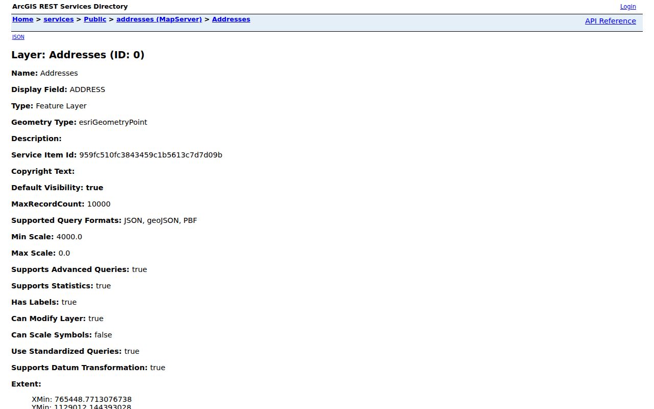
When the assessor rejects an address, compare the city label, alternate name, and status. Then search the parcel map by location. This avoids forcing a modern address into a county field that may store a different street form.
Decatur Street Cases and Permits
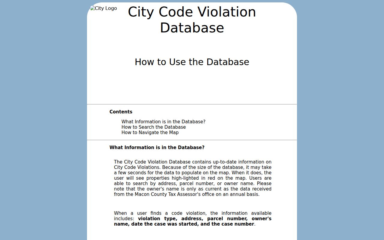
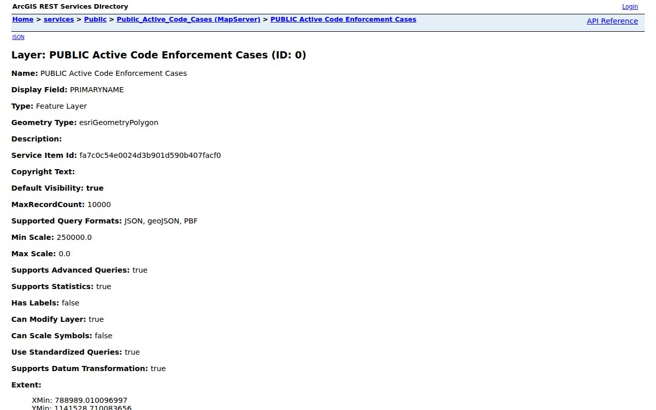
City records can date activity at a property. Decatur's active code-case map searches by address, parcel, or owner. A popup may show violation or case type, address, parcel, owner, case start date, case number, and status. It covers active cases, not a full history. The owner comes from case data and an annual assessor feed, so it cannot establish which person occupied the site.
The active code-case search help explains the three search paths. The captured help screen shows the address, parcel, and owner routes together.
The public active-case layer also exposes the address, parcel, owner, case, and status field structure.
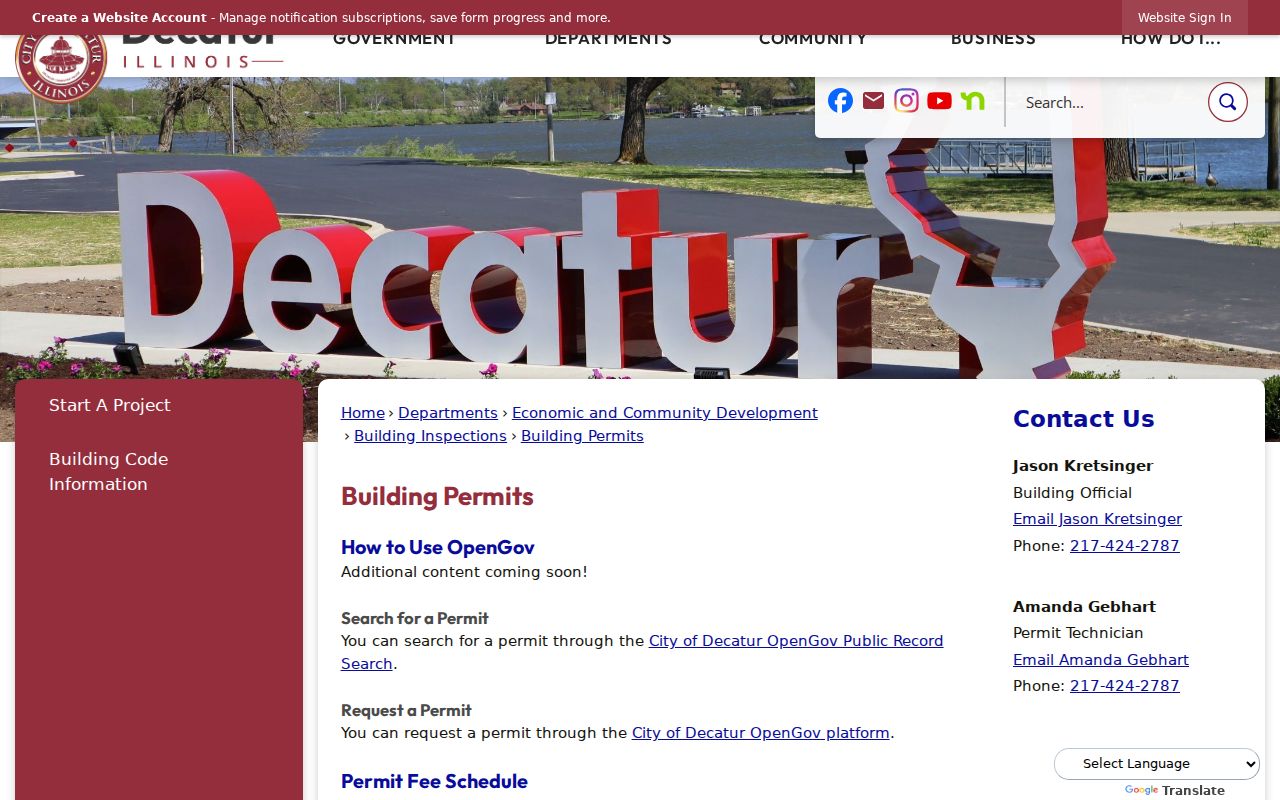
Building permits add work type, application status, fees, attachments, and inspection results when those fields are available through the city's OpenGov route. Start at Decatur Building Permits, whose captured page directs residents to the public system.
Deeds Behind Decatur Streets
The Recorder's Fidlar Direct Search is free and data-only. Macon County currently enables party, date range, document number, document type, and reference number searching. Its address, parcel, subdivision, municipality, and tract modes are disabled. That distinction is crucial: a Decatur street directory search must first obtain the owner name from the assessor, then use that name in the deed index.
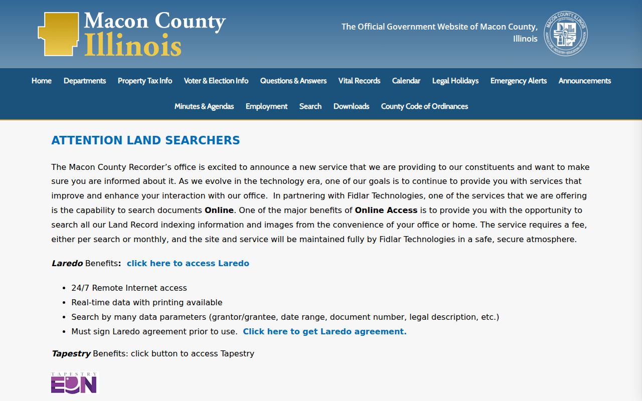
Name spelling matters. The portal recommends the full spelled-out name with a middle initial and suggests trying nickname and spelling variants. Results may show document number, type, recorded date, two party columns, and legal information. Images require a paid route or office access. Laredo supplies subscription searching, and Tapestry offers paid searches or membership.
The Macon County Recorder page gathers those access routes. The captured office page also marks the limits of the free index.
Decatur Records Along a Street
No public file is a full resident roll. Instead, Decatur address research joins county ownership, parcel geography, recorded transfers, city activity, limited registration verification, and historical household listings. Access ranges from a free portal to an office or library request.
| Record Set | Keeper | What It Shows | Access |
|---|---|---|---|
| Property and tax roll | Supervisor of Assessments | Owner, situs, mailing address, parcel, sales | Free county portal and office |
| GIS parcel map | Macon County GIS | Lot shapes, adjacent parcels, districts | Free viewer and GIS office |
| Deeds and liens | Macon County Recorder | Recorded parties, instruments, legal trail | Free data index, paid images, office |
| Registration check | Illinois State Board of Elections | Known person's registration and polling jurisdiction | Identity fields required |
| Permits and code cases | City of Decatur | Work or active case tied to an address | Public systems, city request, FOIA |
| Older directories | Decatur Public Library | Names listed at historic addresses | Local History Room or remote request |
The Illinois voter lookup requires first name, last name, birth date, and five-digit ZIP. It confirms one known registration and polling jurisdiction. It is not a downloadable by-street list. Illinois law limits voter-file release to permitted political purposes, and protected fields are withheld.
Older Decatur Street Directory Clues
Decatur Public Library's Local History Room holds city directories from 1871 through today and obituary source runs from 1878 forward. The collection includes digitized volumes and physical material, with research help available by appointment or remote request. A reverse or criss-cross arrangement is especially useful because it begins with the address rather than a surname.
Older street work should stay narrow here. The full publishers, year runs, abbreviations, and reading methods belong on the Decatur city directory page. For a modern street directory question, the key use is simple: compare an older address entry with the deed owner and the current parcel. A mismatch may reveal a renter, relative, business occupant, or a change in the address label.
IRAD adds assessor books from 1848 to 1891, deed indexes from 1829 to 1893, and deed records from 1829 to 1901. Those series are held at the University of Illinois Springfield depository. They extend a street trail far beyond the county's online grantor-grantee start.
Decatur's Long Recorded Trail
Macon County was organized in 1829, and Decatur became its county seat in 1830. That long public-record chain explains why a web-only search is incomplete. The Recorder says its tract index spans more than 150 years and that the office handles about 15,000 to 20,000 documents each year. Its public grantor-grantee index begins in June 1985, while the archive series reaches much earlier.
The result is a useful split. Current ownership and map context are fast online. Recent recorded parties are searchable by name. Older deeds require books, indexes, IRAD, or staff help. A careful by-address search notes exactly where it moved from a live database to an archival source instead of assuming silence means no record exists.
Limits of Decatur Street Records
Ownership is not the same as residence. A parcel may belong to an entity, an estate, or an owner who gets mail elsewhere. Household members and renters do not form a complete public address list. Driver and vehicle address data is restricted by Illinois law and the federal Driver's Privacy Protection Act. Utility customer details and protected voter fields are not a public street directory.
Illinois also operates an Address Confidentiality Program for qualifying survivors. It provides a substitute address and mail forwarding, generally for four years. Enrollment does not erase older public records, but it explains why a current protected address should not be sought or inferred from gaps.
Lawful use. Use Decatur address records for lawful family, property, civic, or safety research. Never use a street search to stalk, harass, intimidate, or harm anyone.
If a public portal omits a needed non-exempt city record, send a focused Illinois FOIA request naming the address, record series, and date range. Ordinary requests are generally answered within five business days, with a permitted five-business-day extension.